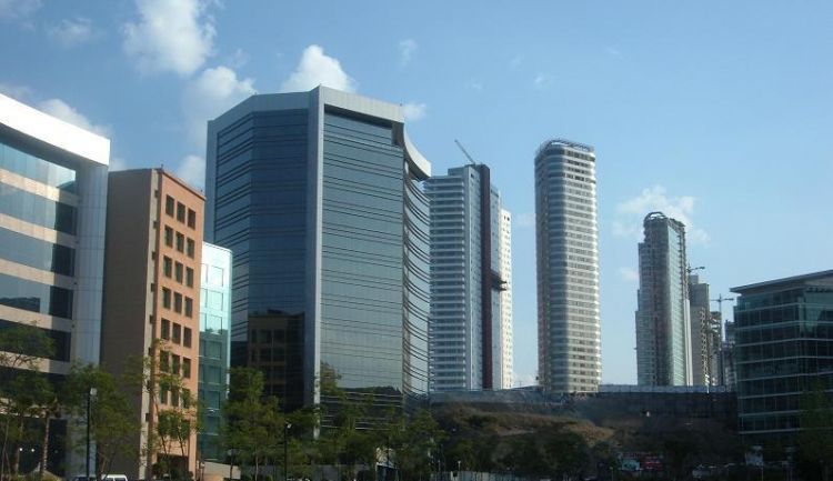
The best cities to live in Mexico vary according to the p...
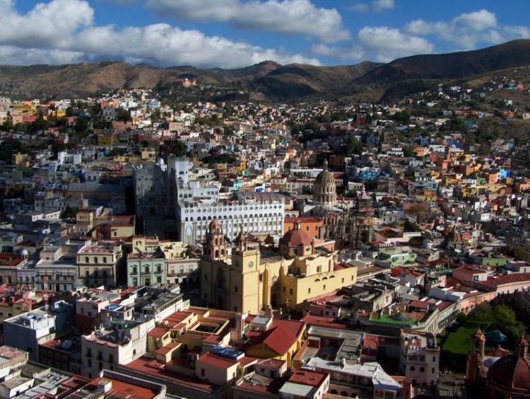
The state borders to the north with Zacatecas and San Luis Potosí, to the east with Querétaro de Arteaga, to the south with Michoacán de Ocampo and to the west with Jalisco. With an area of 30,608 sq. kilometers it only represents 1.6% of the nation's territory.
The sierras and lowlands of the north occupy 36% of the states area. Some of the highest elevations include Cerro de los Rosillos at 3,180 meters above sea level, Sierra los Agustinos, 3,110 masl; Cerro Azul, 2,980 masl, Cerro la Giganta 2,960 masl; Cerro el Jardín, 2,950 masl; Cerro Grande, 2,930 masl.
White tail deer, mountain cats, foxes and armadillos live in the pine and oak forests that are typical of these highlands.
The Bajío Guanajuatense or abajeña zone make up the center region of the state. It is ideal for livestock activities. Mezquitales dominate the landscape; ducks, doves and raccoons are part of the wildlife.
80% of the territory has a dry or semi- dry climate with an average temperature between 18ºC and 22ºC . The Bajio is more humid and has a cooler semi-warm sub-humid climate with rains during the summer months.
Two river basins provide water to the state, the Lerma-Santiago basin and the Pánuco basin with rivers like the Lerma, San Marcos, Lajas, Xichú, Dolores, Mezquital, el Cubo, Manzanares, Silao, Turbio, Victoria and Barranca Grande. Man made reservoirs also are part of the water supply system: the Ignacio Allende, Solís, el Palote, La Purísima, de la Gavia and Mariano Abasolo
The best cities to live in Mexico vary according to the p...
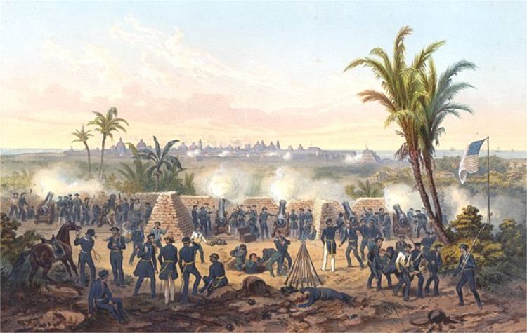
The Mexico â United States war was an armed conflict be...

The three most representative economic models in Mexicoâ...
The dictionaries of Academia Mexicana de la Lengua and th...

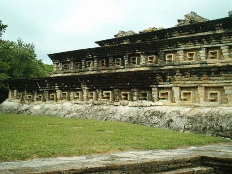
The latest additions of UNESCO show a concern for preserv...
.jpg)
Mexico offers mountain climbers tempting peaks to explore...
In the field of international trade, Mexico is a country ...

Baja California
Baja California has had a ...

After Mexicoâs Independence, the country was in a const...
The best cities to live in Mexico vary according to the p...
Gross Domestic Product (GDP) is the total monetary value ...
The Southeast region of Mexico includes eight States: Gue...