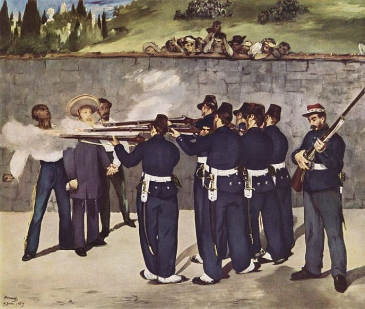
Invasions to Mexico II; The French Invasion
The French intervention of Mexico by the army of the Seco...
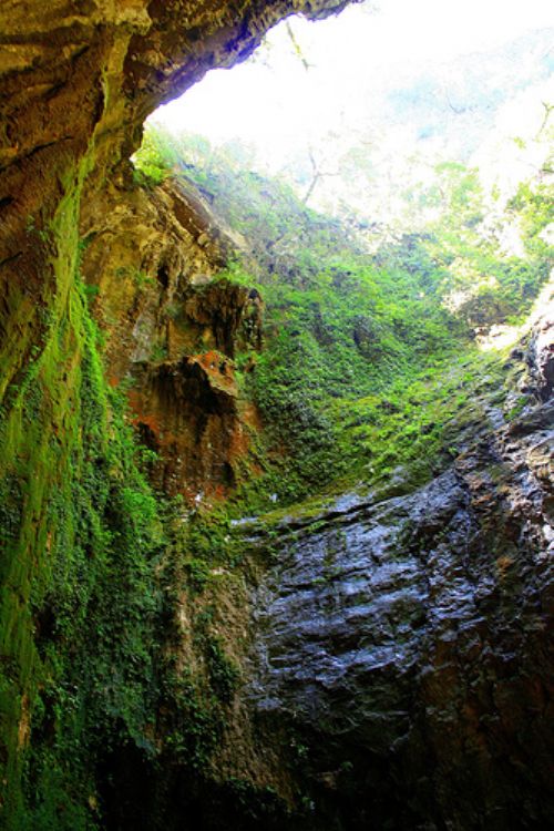
"EL CIELO"
Meaning "The Sky", this spectacular setting listed as Biosphere Reserve by the UNESCO in the year 1985, is located over part of the range known as the eastern Sierra Madre and over the Tropic of Cancer, for which it contains an invaluable biodiversity which includes pine, oak, thicket, and tropical forests, as well as aquatic vegetation. Extending for 144,000 hectares, this reserve inhabited by many endemic local species,
is located between the state municipalities of Gomez Farias, Llera, Jaumave, and Ocampo.
The entrance to "
Written story begins for the state of Tamaulipas as Americo Vespucio, in one ...
Proud of their cuisine, Tamaulipas citizens like to brag and show off their e...
The state of Tamaulipas contributes 3,3% of the national Gross Domestic Produ...
Tamaulipas is the sixth larger state in Mexico with a territory that extends ...
The industry of Tamaulipas is strong in the automobile and auto-parts sector, ma...
Eugenio Javier Hernández Flores is governor number 219 in the political histo...
With a population of a little more than 3 million inhabitants according to the l...
The French intervention of Mexico by the army of the Seco...


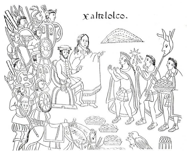
Upon the arrival of the Spaniards, people like the Tlaxca...


The Voterâs Mexican Credential or Federal Elect...
In Mexico there are various social benefits granted by la...
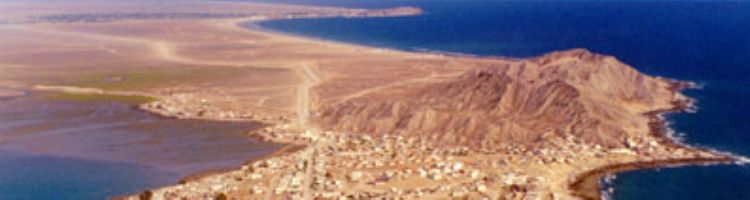
Puerto Peñasco is a beautiful bay and beaches unit...

Pozole is a delicious dish prepared with corn, meat, pepp...
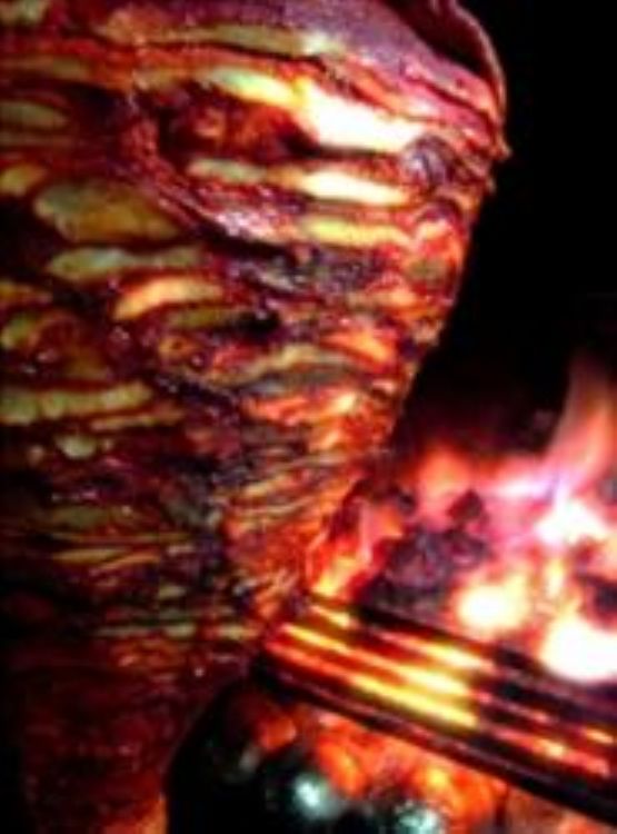
These delicious tacos originated in the city of Puebla as...