Free Trade Agreement Mexico - European Union
Read more
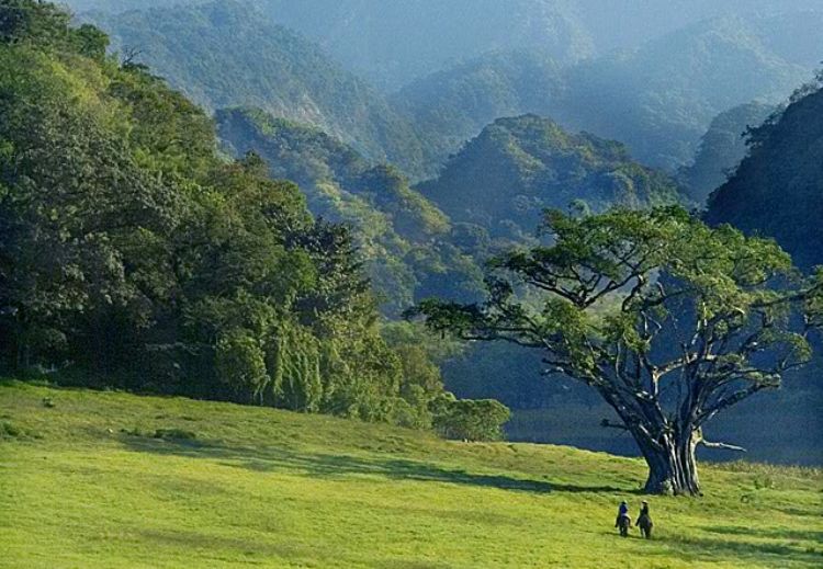
Located in west central Mexico, the state of Colima shares its borders with the Pacific Ocean to the south; and with the neighboring states of Jalisco to the north, east and west, and Michoacan to the southeast. With a territory extending across 5,625 sq. kilometers, it is in fact one of the smallest entities in Mexico.
Despite its size, it enjoys a territorial sea of a little more than 2,000 sq. kilometers, as well as 139 kilometers of coastlines. It also contains some islands within its jurisdiction, among them the Benito Juarez, Clarion, San Benedicto and Roca Partida, all grouped in the Revillagigedo archipelago.
The state's geographic territories are framed by the conifer mountains of the southern Sierra Madre chain, containing a few elevations like the Manantlan Sierra at 2,420 meters, Cerro Grande at 2,220, Cerro el Peon at 2,040, the Perote Sierra at 1,940, and Cerro La Ocotera, at 1,870 meters above sea level. The main elevation in the state is the Colima Volcano, which belongs to the so-called Neo-Volcanic Axis located in the northeast, which is shared with the state of Jalisco and reaches 3,820 meters of altitude.
Wild cat, collar wild-boar, ocelots, and squirrels inhabit the wonderful pine, holm oak, and fir tree forests found along the area, which reports a dry climate, with hot temperatures across the lower lands, becoming more and more temperate as altitude raises in the sierras and the volcanoes.
The valleys of the central and northern parts of the state are adorned with abundant fodder and fruit species, including lemon, coconut palm, mango, and papaya, and are usually home to coyotes, ringdove pigeons, and rook. In the meantime, the southern coasts houses the Manzanillo Bay, seat of one of the major cargo ports in the country. Typical vegetation in the area includes the camachile, guaiacum, mezquite and mangrove, while marine fauna living in its waters consists of needle-fish, goldfish, shark, and hawksbill turtle, the latter one in the endangered species list. This area reports a hot and sub-humid climate, with summer rains, while average temperatures reach some 26 degrees centigrade.
Numerous rivers wash the Colima territories, among them the Armeria, Salado, Marabasco, Coahuayama, Barrance del Muerto, and La Lumbre rivers, while some lagoons worth mentioning would be the Cuyutlan, Amela, and Alcuzahue.

Free Trade Agreement Mexico - European Union
Read more
.jpg)
Without rivaling nature, human beingsâ intelligence, cr...
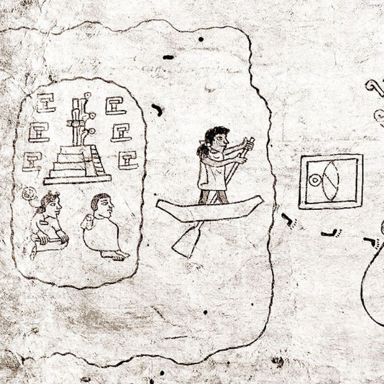
The Aztec Empire, also known as Mexica, was formed by cer...

One of the most important painters of Mexican art during ...
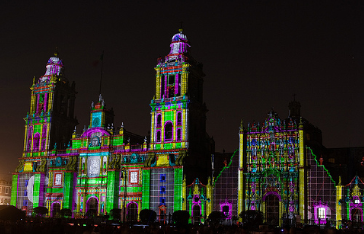
During 2010 we celebrated in México 200 years of I...
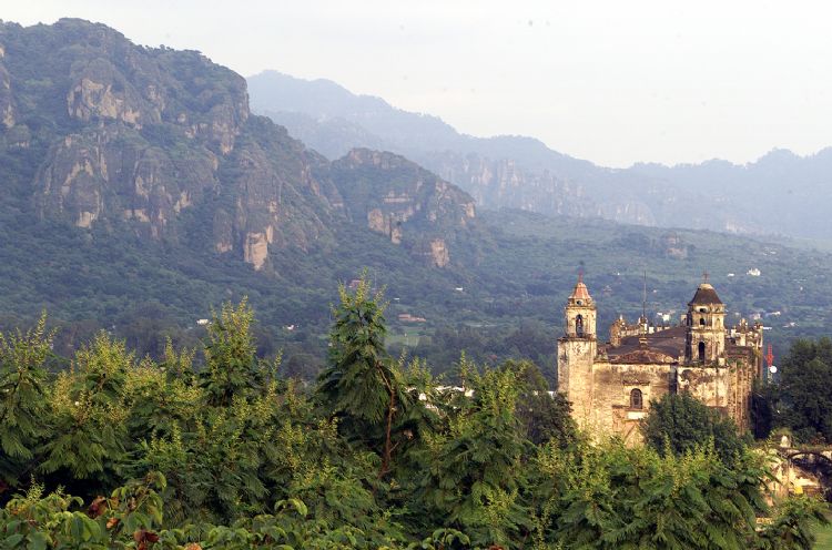
Soon after the military conquest of Mesoamerica, the cler...

Have you ever wondered what it must feel like to touch a ...