The Cristero War is also known as Cristiada. It was an ar...

Located in the south-east region of the Mexican Republic, the state of Campeche covers an area of 57,727 square kilometers. It borders to the north with Yucatan; to the east with Quintana Roo and the Central American country of Belize; to the south with Tabasco and the Republic of Guatemala; and to the west with the Gulf of Mexico.
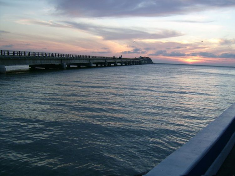
The islands of El Carmen, Jaina, Triángulo and Cayo Arcas are off the coasts of the Gulf of Mexico.
No elevations are found and the terrain is mostly flat as in the rest of the peninsula; the climate is warm and sub-humid, with an average temperature of 26.3ºC and a rainy season from June to October. The tropical storms that are common during this season in the peninsula eventually reach the Campeche coasts.
It has many tributary rivers like the Champoton, Chumpan, Candelaria (402 km long), Palizada and Isleño; the last four flowing into the Terminos Lagoon, declared a protected area by the Carmen municipality in 1994; together with the Centla Swamp they form the largest hydrographic basin of Mexico. This lagoon shelters varied ecosystems: mangroves, palm forests, bushes, sea-grass lands, and low rainforests. Mollusks, reptiles birds and mammals are also found here. The human activity of the region and the fragile coexistence of the varied species has many animal species in the endangered species list: the mojina and hawksbill turtles, migratory hawks, jaguars, little spotted tigers, jabiru storks, dolphins, boa constrictors, among others. On the other hand, crocodiles, white tail deer, raccoons, and white turtles either live or nest in this area as well.
83% of the area is covered by tropical rainforest, and plant species used in for lumber include: chakah, black chechem, tsalam and puktÃâeÃâ. Only 1% of the soil is used in agriculture being sugar cane, corn, rice beans and sorghum the main crops.
A small hill chain known as the Sierra Alta or Puuc starts in the municipality of Champoton; with elevations of about 40 to 60 meters they forms cliffs, and the most popular peaks are named Boxol and El Morro.

The Cristero War is also known as Cristiada. It was an ar...

The Voterâs Mexican Credential or Federal Elect...

The figure of Antonio Lopez de Santa Anna has been very c...

The history behind this tax is known by almost all of us:...

These delicious tacos originated in the city of Puebla as...

Comercial Mexicana is one of the largest retail chains in...
