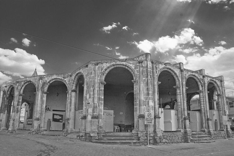
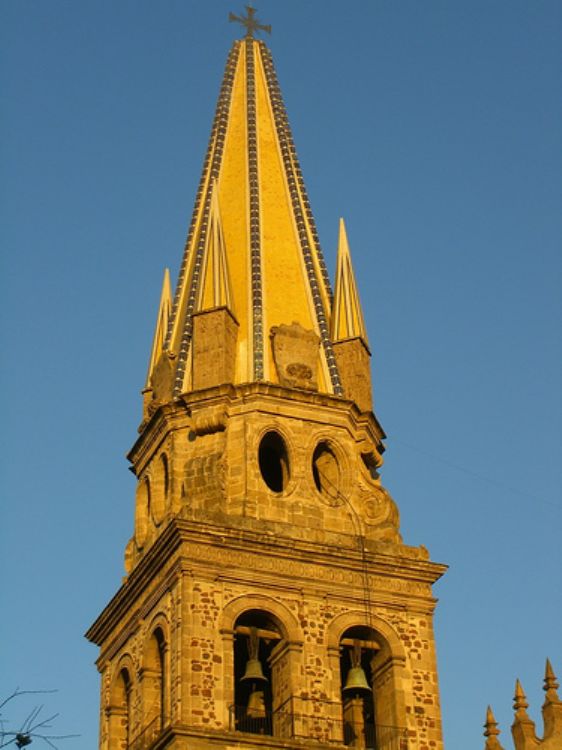
Zacatecas is one of the three most important colonial cit...
.JPG)
Zacatecas takes eighth place on a national level as far as territorial extension having 75,539 km2. Located in the northern center of Mexico, its limits are with Coahuila and Nuevo Leon, on the east with San Luis Potosi, and south with Aguascalientes and Jalisco, and on the west with Nayarit and Durango.
The Occidental Sierra Madre interrupts Zacatecas on the north by the Oriental Sierra Madre and on the south. Some of its principal elevations are the Sierra El Astillero with an elevation of 3,200 meters above sea level; Sierra del Sombrerete, with 3,100 meters above sea level; Sierra Fria, with 3,030meters above sea level; the Cerro la Aguililla, with 2,850 meters above sea level; the Pico de Teyra, with 2,790; and the Cerro el Picacho, with 2,700 meters above sea level. There are forests with pine and encinos, wild hogs, white tailed deer, and hares. Meanwhile in the central valleys, the scenery is drawn with mesquites, gobernadoras, pastizales, lechugillas, cacti, coyotes, badgers and quail.
Seventy five percent of the entity has a dry and semi dry climate with a temperature of about 18 degrees Celsius and annual precipitation of 800mm. In some areas in the south area of the state, the influence of the Occidental Sierra Madre results in a pleasant sub humid climate with annual precipitation of higher than 1,000mm.
The rivers that cross the Zacatecas valleys are the Aguanava, Juchipila, Jerez, Atengo-San Andres, Valparaiso, Palomos, Villanueva, Bolaños, San Francisco, and Tlaltenango

This island, born from volcanic activity, with a vast are...

This great artist, Catalan by origin and Mexican by adopt...
