The Coat of Arms, Flag and National Anthem are the most i...
The state of Sinaloa shares its borders with the Pacific Ocean and the Gulf of California to the west, and with the states of Sonora and Chihuahua to the north, Chihuahua and Durango to the east, and Nayarit to the south. According to statistics dating back to 2005, the state extends throughout a territory of 57,377 sq. kilometers, and exerts control over the islands of Palmito Verde, Palmito de la Virgen, Altamira, Santa Maria, Saliaca, Macapule and San Ignacio.
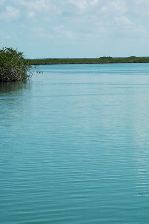
The western coast of the state runs for 640 kilometers, which in fact represents 5,5% of Mexican coasts, and belongs to the Coastal Plains of the Pacific. The characteristic feature of this land is represented by the endless plains and prairies eventually interrupted by a few hills; a landscape usually covered by crops including jute, huisache coconut oil palm, paradise tree and oak as well as extensive pasture land, and home to animal species such as wild boar, ounce and quail. On the other hand, the land closer to the warm shores present a slightly different environment consisting of mangrove and camachile, and of course sea species such as tortoise, sea bass, grouper, meagre, snapper and shrimp. This zone reports a hot and dry or semi-dry climate, and an annual average temperature of 25 degrees centigrade.
Back in-land, the state is crossed by the mountain range known as the western Sierra Madre, with a few canyons and cliffs descending as deep as 1,000 meters. Regarding peaks along these mountainous landscape, the main peaks found along the Sinaloa silhouette include the Picacho Los Frailes, Mesa San Bartolo and Cordon El Copo Alto, all reaching 2,520 meters; Cerro Pelon at 2,500; Cerro Los Algodones at 2,300; and Cerro La Bandera at 2,280 meters above sea level. The mountain range of Sinaloa reports a hot sub-humid climate, and features pine, oak and ocote-pine forests, as well as species such as tiger-cat, white-tail deer and wild-boar.
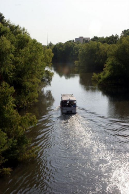
The state is crossed by various shallow rivers, including the Fuerte, Sinaloa, Culiacan, Ocoroni, Panuco, San Lorenzo, Piaxtla,,Mocorito, Tamazula, Quelite, Choix, Surutato, Presidio, Elota, Los Cedros, Humaya and Palmarita rivers. It also contains
other bodies of water including as much as eleven reservoirs, the most important of which are the Jose Lopez Portillo, Miguel Hidalgo, Adolfo Lopez Mateos and the Josefa Ortiz de Dominguez dams, which in fact cannot supply the amount of water the state population demands, situation that has prompted several emergencies since the year 1999.
The Coat of Arms, Flag and National Anthem are the most i...

The Aztec Empire, also known as Mexica, was formed by cer...

Agriculture is still one of the most important activities...

The Business Tax to Unique Rate (Impuesto Empresarial de ...

The same as a steam engine, which has hot and humid air, ...