Gross Domestic Product (GDP) is the total monetary value ...
Yucatán has a territorial extensión of 39,612 km2, and 2% of the Mexican surface. The state of Yucatan attaches to the Gulf of Mexico on the North and best, on the east with Quintana Roo, and south with Campeche.
The vegetation is classified as middle and low tropical. The most representative species are henequen, caoba, cedar and caiba.
Yucatan lacks rivers and creeks, which makes its hydrology subterrain (cenotes and lakes).
The predominating climate is hot and subsumid; the average temperature is 78, 80ºF and the rainy season is June-July.
This region lacks in elevated zones, it mainly has rocky territory and deep ditches. These ditches that accumulate rain, originated in the coast of Yucatan. The humidity that comes from the accumulation of this water is important to the fishing activity and to maintain equilibrium for all the ecosystems in the surrounding areas.
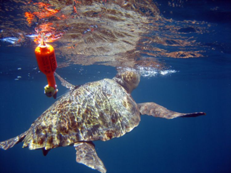
The most representative fauna is the pink flamingo, jaguar, Carey turtle, and quail of Yucatan, tepexcuintle, duck, and tapir.
Gross Domestic Product (GDP) is the total monetary value ...
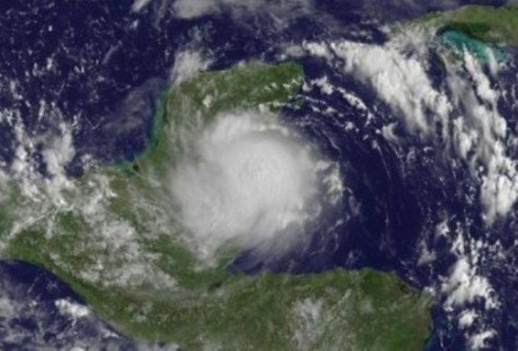
Its path:
This meteorolog...
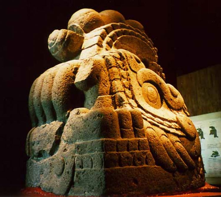
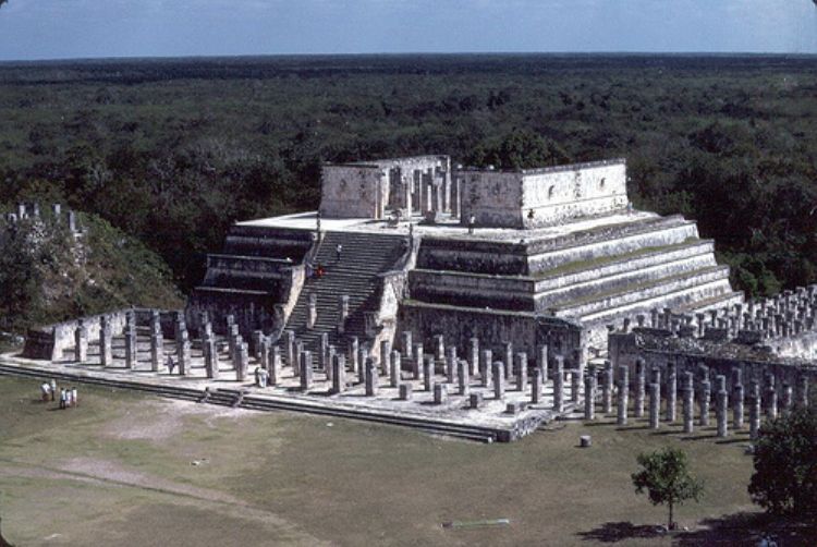
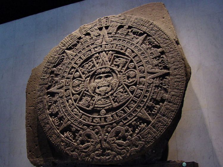
The Mexica called themselves original from the mythologic...

Are you tired of always doing the same on vacations? Hot-...
Mexico is a country with a great cultural dynamic, a vast...

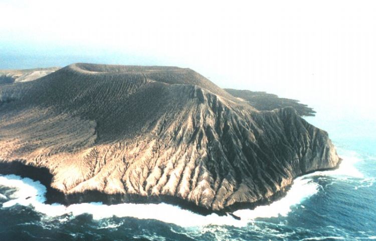
It is a combination of natural formations and those contr...
One of the most serious environmental problems Mexico fac...

The 2009 outbreak of Influenza A subtype H1N1 is a new ty...

Recently they have become popular in forums, magazines an...
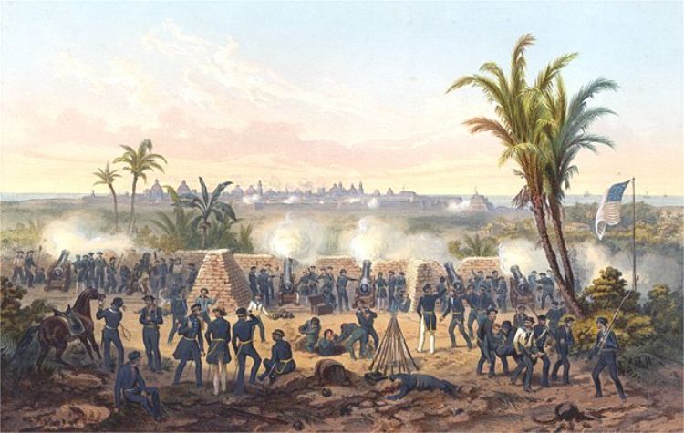
The Mexico â United States war was an armed conflict be...
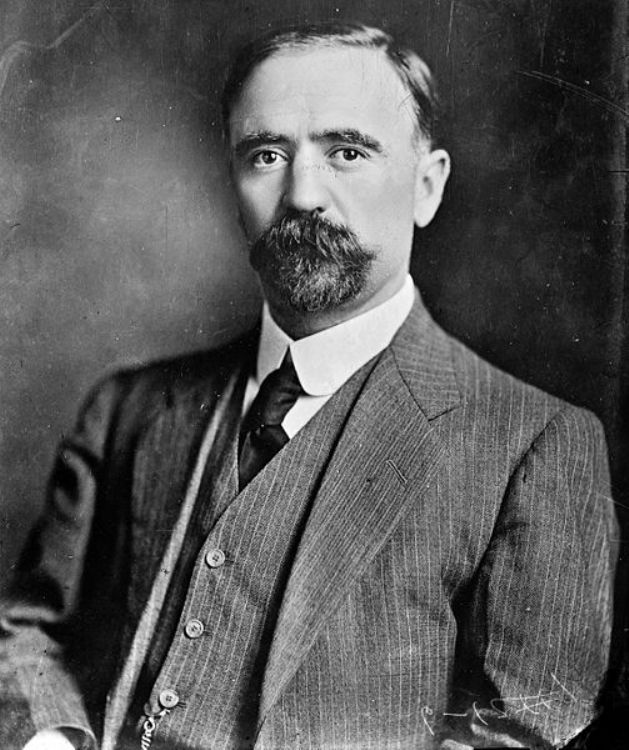
He was born on the 30th of October 1873 at Hacienda el Ro...

Carlos Monsiváis was born in Mexico City on May 4,...