.jpg)
Mexicoâs World Cultural Heritage Sites I (from 1987-1992)
One of UNESCOâs goals is for men and women to have spir...
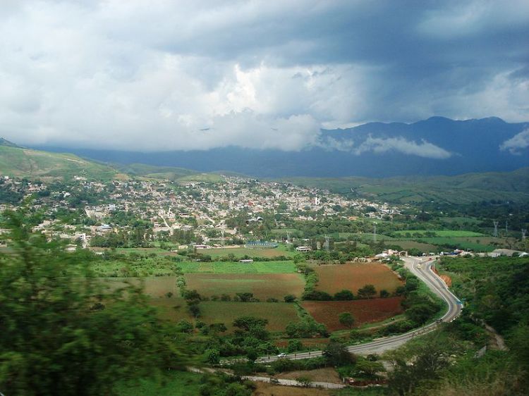
Chilpancingo is the capital of Guerrero State, an area with much history and Mexican tradition. During the XI century, the arrival of the Nahuas Coixcas Indians was registered; they settled in the region practicing agriculture and constructing palm tree houses. The Nahua domain included the current territory of Chilpancingo, where the Yope Indians settled centuries later. During the kingdom of the Mexica landlord Izcóatl, great towers were constructed, one of them described by Spanish chroniclers as "âa great stone in the shape of a serpent"â.
Upon the death of Izcóatl, a battle for the region's control began, until Moctezuma Ilhuicamina established his kingdom, constructing fortresses in some of Guerrero's cities, including Chilpancingo.
In 1534 the city was explored by Spanish conquerors lead by Captain García Jaramillo.
The struggle for Mexican Independence reached the city a year after it officially began with the now famous "âGrito de Dolores"â, and it is worth highlighting that both insurgents lead by the priest from Michoacán José María Morelos y Pavón, as well as the realist troops lead by Commandant Garrote, tried to convince the Bravo brothers (one of them later became politician Nicolás Bravo) of Chilpancingo to join their cause, they finally chose the insurgent battle for the brave Guerrero citizens.
In 1813, insurgent priest Morelos y Pavón summoned the First Anahuac Congress on the 8th of September of that same year in the town of Chilpancingo, officially named city and Mexico's capital at that moment, under the new name of Ciudad de Nuestra Señora de la Asunción.
One month later, on the 5th of October, José María Morelos y Pavón declared the abolition of slavery in Mexico and also the sovereignty of all people. On the 6th of November, another great day for the Mexican nation, Congress penned Mexico's Declaration of Independence.
Once the struggle had concluded, the Congress of the Union of 1824 decreed that the city would be under the jurisdiction of Mexico State. It wasn't until 1850 with the creation of the State of Guerrero when its inclusion in the new Mexican State was ruled. Three years later, it was declared provisional State capital due to a strong epidemic that harmed the then capital, Tixtla City. In 1871 it was officially declared Guerrero State capital.
Settled on the margins of Huacapa River, Chilpancingo is a city located 1,360 meters above sea level. Of moderate climate and abundant natural resources, it is the territory preferred by the inhabitants of surrounding areas since the time of the Conquest. This valley is surrounded by mountains, to the north by the so called Tierras Prietas with a height of 1,350 meters; to the east, by the Machohua and Ocotepec Mountains, as well as Sierra del Filo de los Abismos; to the south by Sierra del Salto de Valadez and on the west, by the Cordillera del Culebreado or Filo Mayor. The average temperature is 71.8°F with winter during December and January, with rainfall during the summer, specifically during the months of July and August.
.jpg)
One of UNESCOâs goals is for men and women to have spir...
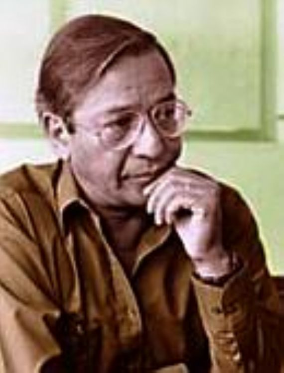
José Agustín; He was born in the State of G...
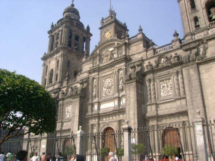
In the Europe of the Middle Ages, the cathedral was witho...
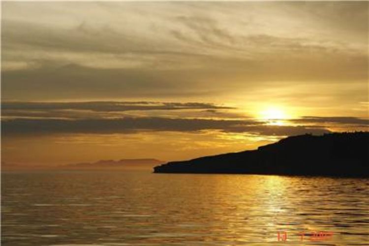
Tourism is one of the countryâs main economic activitie...


The amount of cartels fighting for control the drug traff...

Lately, this seems to be the hot topic no matter the soci...