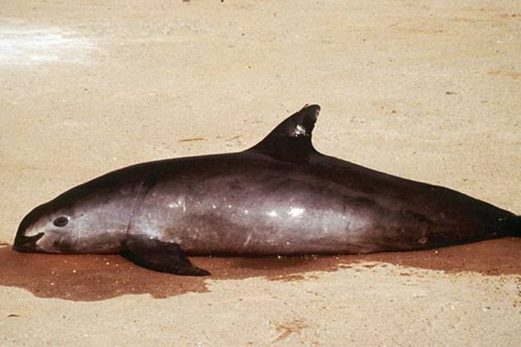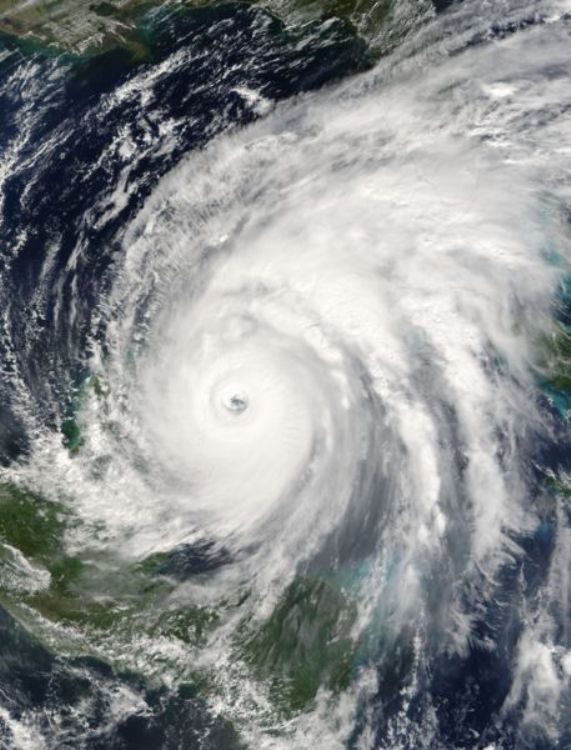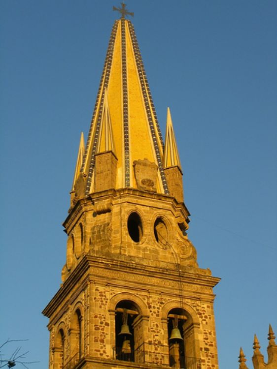
The United Mexican States are characterized by their dive...

Extending throughout a territory of roughly 61,000 kilometers, the state of San Luis Potosi covers 3,1% of the nation's total surface. Located in east-central Mexico where the nation is crossed by the Tropic of Cancer, it shares its borders with the neighboring states of Nuevo Leon and Tamaulipas to the north; Tmaulipas and Veracruz to the east; Guanajuato, Higalgo and Queretaro to the south; and Zacatecas the northwest.
At the border with Veracruz, the coastal plains of the Gulf of Mexico are given the local name of Huasteca, an area with a hot and wooded environment. Along the central region known as Media zone, the chain called eastern Sierra Madre is conformed by the Rosal, Tapona Venado and San Muigelito sierras, the latter with an altitude of 2,630 above sea level. The most northern region, reaching the highest points in the state, is known as the Altiplano or the high plateau, part of the system chain of Mesa del Centro or central tableland. Some of the highest peaks found along the state's horizon include the Cerro Grande at 3,180 meters, Sierra de Catorce at 3,110, Sierra Coronado at 2,810, Sierra los Picachos de Tunalillo at 2,770, Cerro el Fraile at 2,620, Picacho las Hendiduras at 2,590, Sierra Los Labrillos at 2,570, and Sierra El Jacalon at 2,500 meters above sea level.
The main rivers running along the Potosi land are the Moctezume, Santa Maria-Tampaon, El Salto, Verde, Tamasopo, Gallinas, San Isidro, Palmillas and Grande rivers, among others. Golondrinas, La Muñeca, San Jose and El Peaje dams are the names given to some of the state's reservoirs.
On the other hand, 77% of the San Luis territory reports a dry or semi-dry climate, with rainfall indicators below 750 mm per year, excepting the coastal strip close to the Gulf of Mexico, where the usual is to find an average temperature of no more than 20o C., and humid or sub-humid conditions.
Diverse geographic conditions in each region result in a rich biodiversity, for instance, the Huasteca region is home to fern, moss, rosewood, and fruit trees like papaya, plantain, and sapodilla plum, as well as to species such as deer, wild cat, and wild-boar, while the northern part of the state usually has a landscape formed by catkin, guayule, prickly pear, ixtles, and wild lettuce.
San Luis Potosi also contains several natural areas protected by the state government due to their environmental value, the most important of which are the Sierra de Alvarez, Sierra La Mojonera, and Sierra del Abra Tanchipa.


Remedios Varo was born on December 16, 1908 in Gerona, Sp...