About Ensenada

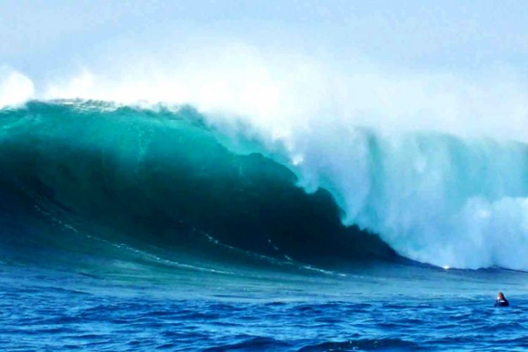
Also know as "âThe Cinderella of the Pacific"â, Ensenada is a city of the state of Baja California, located 110 km away from the U.S. border and with coasts washed by the Pacific Ocean. At the beginning, it was known as Ensenada de Todos los Santos, but today it is called just Ensenada while the bay where it is located is called "âde Todos los Santos"â (of all saints). Nowadays is one of the main commercial ports of Mexico, being part of an obligatory route for many destinations in Latin America.
Its origins go back to the pre-Hispanic times, when the territory occupied today by the municipality of the same name, was inhabited by descending families of Yumanos, such as, Cucapás, Kiliwas, Kumiai, Paipais and Cochimies, these last being the ones that outstood the most.
Facing colonial times, this territory was discover for the first time on September 17, 1542, during an expedition to the still-considered Island of California leaded by the Portuguese explorer Juan Rodriguez Cabrillo, who name it as San Mateo Bay. Seventy years later, captain Sebastian Vizcano came to the bay and named it Bahía de Todos Santos because his arrival to this place was just few days before the celebration of "âTodos los Santos"â (all saints). It was until 1805, that the lieutenant Jose Manuel Ruiz received the territory of the ranch of "âEnsenada de Todos Santos"â as a compensation for all his years in military service, that the territory of Ensenada was conceived like so.
Nevertheless, it was until the end of the 19th Century, after the Mexican independence and during the porfiriato time, that by presidential decree, on may 15 of 1882, the head of the north party of Baja California moves from Real de Castillo to Ensenada, date on which is considered the official foundation of Ensenada. After that, in 1915, Ensenada stopped being a municipal head by instructions of the Colonel Esteban Cantú, who signaled Mexicali as the new one to yield this honor.
Finally, on January 16 of 1952, the territory of Baja California, by presidential decree, became the 29th state of the Mexican Republic, integrated by 4 municipalities: Mexicali, Tecate, Tijuana and Ensenada.
The Municipality of Ensenada is located in the following geographical coordinates: To the North: 32º 21' North latitude, to the South: 28º 00' North latitude, to the East: 112º 47' East longitude and the West: 116º 53' West longitude. This municipality is contiguous to the north with the municipalities of Rosarito Beaches, Tijuana, Tecate and Mexicali, to the West with the Pacific Ocean, to the East with the municipality of Mexicali and the California gulf (Cortes sea), and to the South with the State of Baja California Sur. Its approximate distance to the state capital (Mexicali) is 300 kilometers.
Nowadays, thanks to the strategic location of this bay, Ensenada is considered as a port of enormous commercial potential, being a privileged point for commerce and trade between the member countries of the North American Free Trade Agreement (NAFTA), Latin America and the countries of the and the Pacific Ocean basin, in a direct way or as a meeting point for trading.
The municipality of Ensenada is by far the largest municipality of Mexico, counting with 52 thousand square kilometers, representing 74% of the territory of Baja California. Also, nowadays is inhabited by almost 315 thousand people, where men and women represent an equal proportion. Little more than 50% of the population is considered to be active in economy, which is occupied mostly in the tertiary sector (53%), whereas the primary sector only occupies 16% and the secondary 27% rest.
At the present time, the economic activity of the zone is concentrated mainly in:
- Fishing: Without doubt one the most important activities being a great source of employment and food producer for local, national and foreign consumption.
- Agriculture and Cattle: more than 70% of the territory is dedicated to this activity, constantly searching to increase its exports.
- Tourism: with enough installations to satisfy all the tastes and pockets of its visitors.
- Commerce: oriented mainly to the internal market and retail sale.
Finally, it is important to point out that at the moment there are several projects to continue the development of this zone wine activity, taking advantage of its extensive territories, propitious weather and the proximity of the largest market in the world
Sources:
Virtual Encyclopedia of Municipalities in Mexico (Enciclopedia Virtual de los Municipios de México), http://www.e-local.gob.mx
Ensenada Website, http://www.portal-ensenada.com
http://www.enjoymexico.net
http://www.ensenadahoy.com
Articles Releated with Ensenada
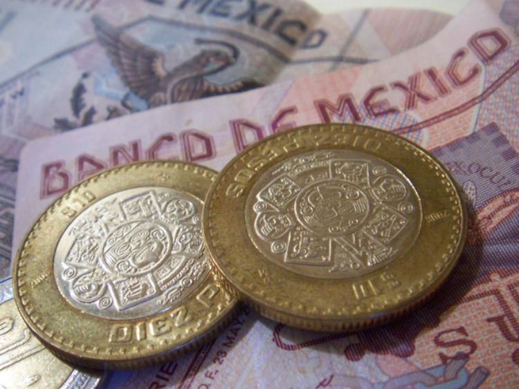
Remittances to Mexico, Important part of the Economy
The history of migration of Mexican citizens to the Unite...

Poverty in Mexico, and its Figures
With most of its inhabitants having unmet needs, it is no...
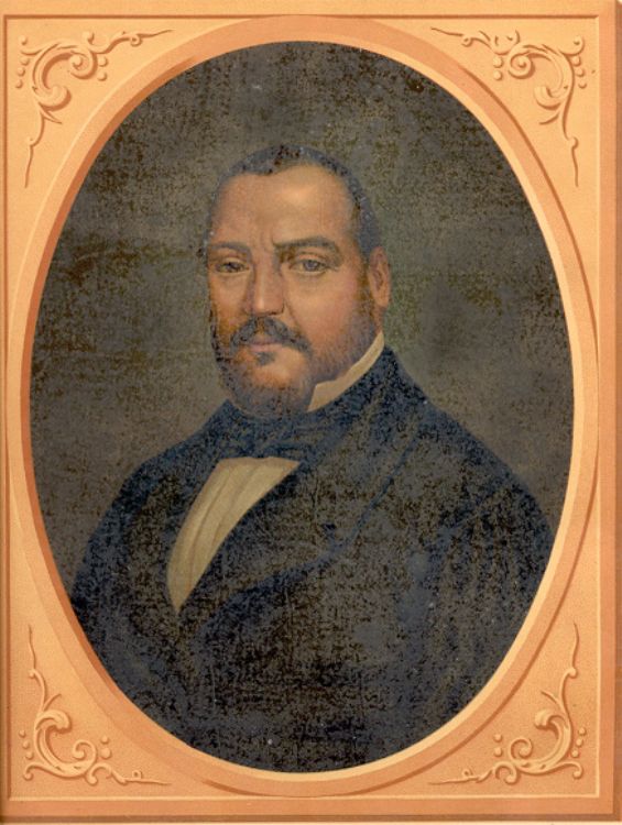
The War of Reform, History of Mexico
Mexicoâs War of Reform, also known as the Three Year Wa...
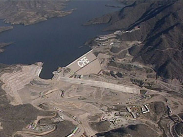
Electricity Generation In Mexico
Until 2013, Article 27 of the Constitution gave exclusive...
Most Viewed
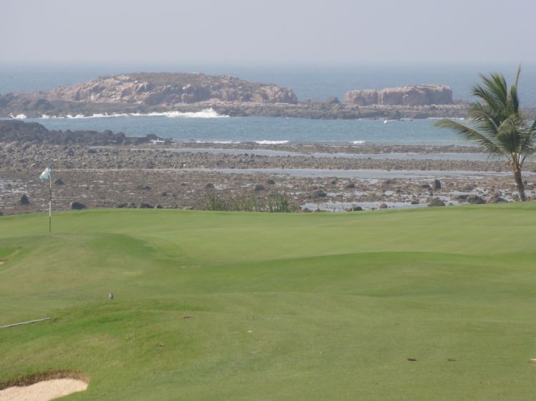
Punta Mita, in Nayarit, Mexico
This beautiful beach is located on the Pacific Ocean coas...
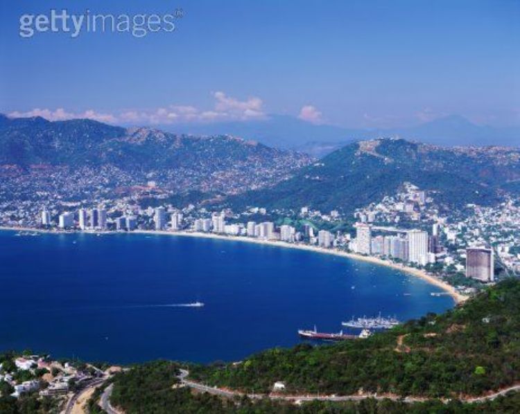
Beaches and Attractions of Acapulco
La Quebrada is Acapulcoâs greatest symbol worldwide. Fr...
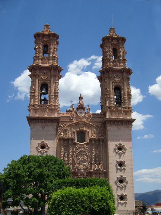
Santa Prisca Temple (Taxco Mexico)
According to legend, in the year 1751 once the templeâs...